HOME | ABOUT | BLOG | CONTACT | JUKE-BOX | MEMORIAL | SOJOURNERS | SOUVENIRS | THANKS | SITE MAP
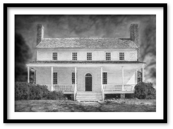
Mr. G's Round Hill Lodge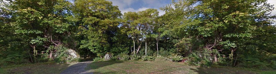
| Maps |
|
|
 As early as 1930, the road up the hill to the "Main House" appears on historical maps of the region. (The red star on each map indicates where "The Lodge" was located in later years.) In subsequent geological surveys, there are mentions of a structure on the premises, built c.1920. But no further descriptions are made. Further research, to-date, make no reference to what that structure was or its use. On all maps, "Round Hill" is clearly noted and on the map of 1962-1977, "Mountain Lodge", which was, according to record, started ass a small camping community and became establisihed as a permanent residiential community after Word War II, is indicated. The history of the hill on which "Mr. G's" would become estabished with the entrance dirt road is recorded in the history of the region, and the local reference to it as "The Lodge" becomes sosme-what clear. As early as 1930, the road up the hill to the "Main House" appears on historical maps of the region. (The red star on each map indicates where "The Lodge" was located in later years.) In subsequent geological surveys, there are mentions of a structure on the premises, built c.1920. But no further descriptions are made. Further research, to-date, make no reference to what that structure was or its use. On all maps, "Round Hill" is clearly noted and on the map of 1962-1977, "Mountain Lodge", which was, according to record, started ass a small camping community and became establisihed as a permanent residiential community after Word War II, is indicated. The history of the hill on which "Mr. G's" would become estabished with the entrance dirt road is recorded in the history of the region, and the local reference to it as "The Lodge" becomes sosme-what clear.
1930: 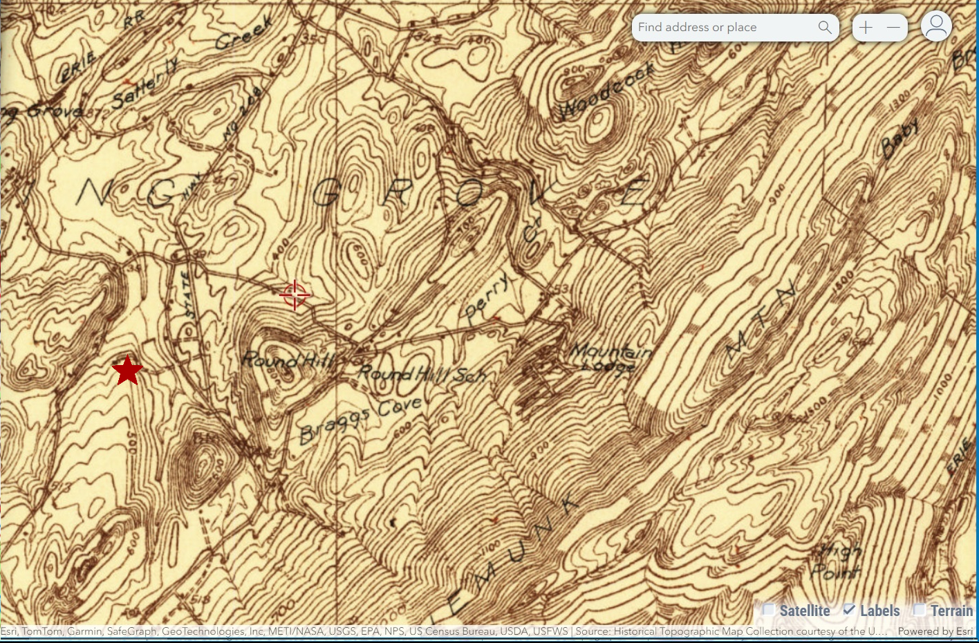 
1935 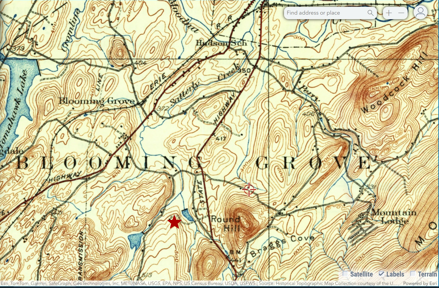
1935-1946 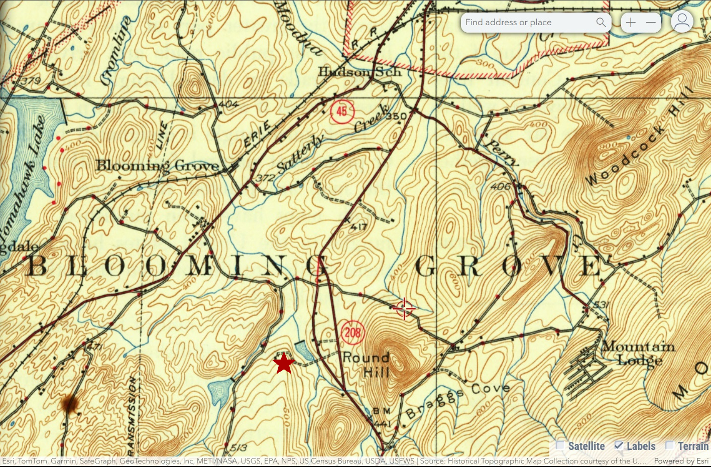
1962-1977 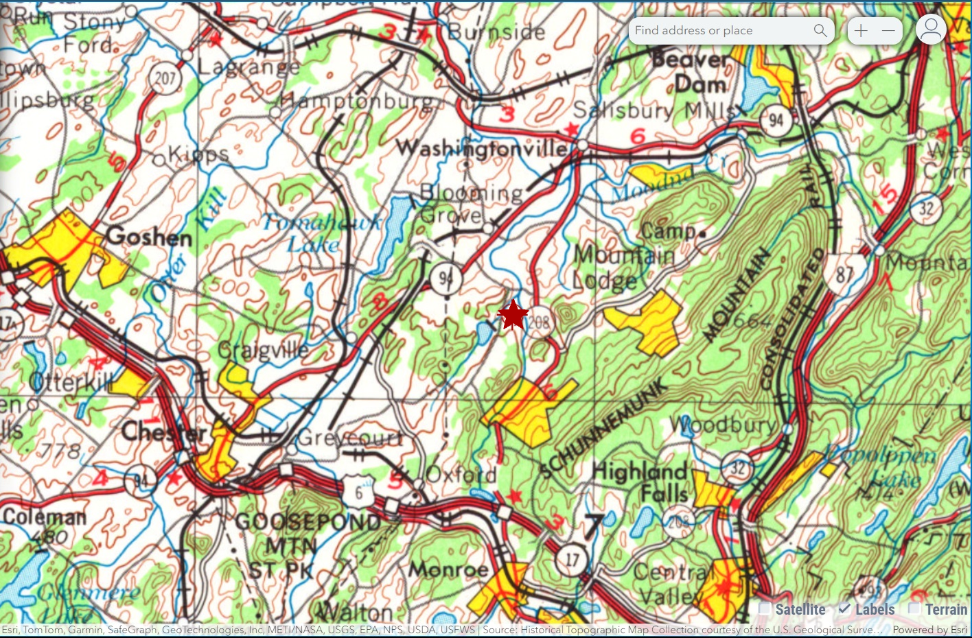
|
Site-build: ©JA Kessler Design